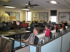
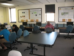
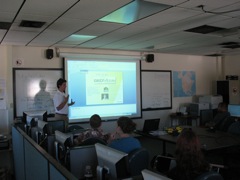
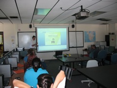
IDES students in Digital Earth GIS/Remote Sensing Lab.
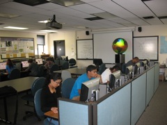
IDES students working hard on global water resources GIS exercise after brief intro discussion that included the Omni Globe (in background).
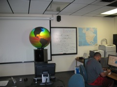
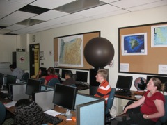
Sea surface temperature dataset on OmniGlobe.
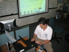
Teaching assistant Kelvin Raiford.
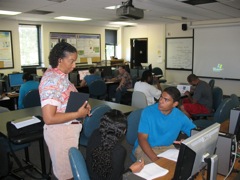
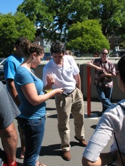
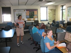
Instructor Dawn Wright interacts with Kevin Weldon and Yuritzy Gonzales-Pena.
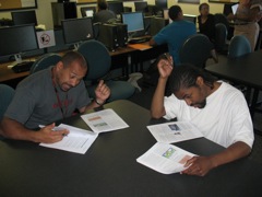
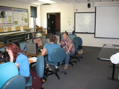
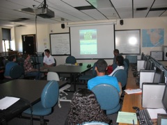
Small group discussion sessions in progress. Chris Wade and Ronnie Perry dig in.
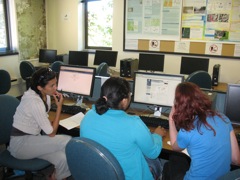
Olivia Poblacion, Andrea Jacobo, and Sarah Acker discuss together...
...as do Amber Ross and Chris Hunter
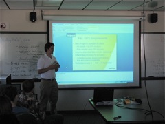
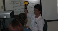
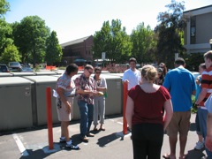
Guest speaker Rich Ash of GEOMobile Innovations in Corvallis introduces both IDES and SMILE students to GPS and laser range finding technologies.
SMILE students and coordinator Alicia Christensen listen in.
Kelvin w/ laser range finder.
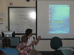
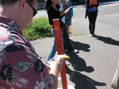
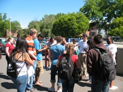
Rich begins a demo of GEOMobile Innovations new LaserRange app for ArcPad.
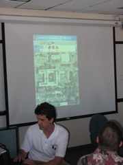
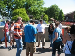
Rich taking a reading with laser range finder as part of his demo.
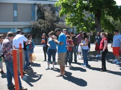
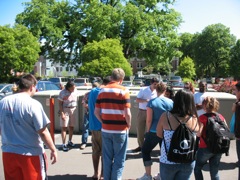
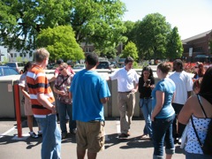
IDES and SMILE students outside with GPS receivers and laser range finder.
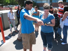
Chris Hunter masters a Trimble receiver ...
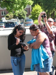
... as do Yuritzy Gonzales-Pena and Andrea Jacobo.
Kevin Weldon and Amber Ross get their bearings.