Slide 32 of 45
Notes:
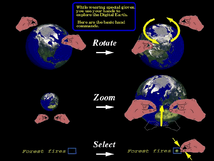
In the digital world nothing is flat - we donít need to limit ourselves to flat surfaces, to 2 dimensions, (i.e, geographic information systems donít necessarily need map projections)
Looking at maps and data is a form of analysis in itself
A map of a certain place - combines what the data tells you with what you already knew about a place
Many years ago everything was on a flat plane
Paper maps were stacked on top of each other
Everything was at a uniform scale (area covered)
Everything was at a single level of resolution (detail)
We can now escape these constraints


