Morgan Salisbury
GEO 565: Geographic Information Systems and Science
Annotated Bibliography
Using GIS to measure temporal changes of spatial distribution, volume, and geochemistry of volcanic products
 My interest is in
determining volcanic eruption rates and volumes, and tracking
compositional changes of volcanic products through time. I am
interested in utilizing a GIS to facilitate mapping of the
distributions and geochemical characteristics of large volume, silicic
volcanism in the Bolivian high Andes (Google Earth image to the right).
In general, there is a lack of peer-reviewed publications that fully
utilize GIS science to achieve volcanological objectives. Most of the
GIS/volcano papers that are available are concerned with the
integration of volcanic probability maps with social data to facilitate
risk management and create hazard maps. I am more interested in using
GIS to aid in calculating areas and volumes of ancient deposits and
illustrating geochemical variations over geologic timescales. The
following is an annotated bibliography of the most relevant papers I
could find that will aid in the pursuit of my goal. Because
illustrations an integral part of geography and geology, I have
provided a number of figures from each paper to better illustrate the
author’s intent. Because of the use of images, I found it easier to
have each annotation as a separate page.
My interest is in
determining volcanic eruption rates and volumes, and tracking
compositional changes of volcanic products through time. I am
interested in utilizing a GIS to facilitate mapping of the
distributions and geochemical characteristics of large volume, silicic
volcanism in the Bolivian high Andes (Google Earth image to the right).
In general, there is a lack of peer-reviewed publications that fully
utilize GIS science to achieve volcanological objectives. Most of the
GIS/volcano papers that are available are concerned with the
integration of volcanic probability maps with social data to facilitate
risk management and create hazard maps. I am more interested in using
GIS to aid in calculating areas and volumes of ancient deposits and
illustrating geochemical variations over geologic timescales. The
following is an annotated bibliography of the most relevant papers I
could find that will aid in the pursuit of my goal. Because
illustrations an integral part of geography and geology, I have
provided a number of figures from each paper to better illustrate the
author’s intent. Because of the use of images, I found it easier to
have each annotation as a separate page.
Click on the references to see each annotation
Barraud, 2006
Behncke et al., 2006
Bernadin et al., 2006
Bukumirovic et al., 1995
Burt et al., 2001
Cimarelli and De Rita, 2006
Hubbard et al., 2007
Lees, 2000
Ownby et al., 2007
Assorted references
Contact me: salisbum@geo.oregonstate.edu
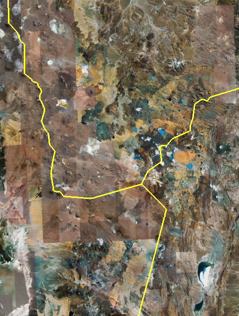
My field area: The Google Earth image shows the approximate extent
of the Altiplano Puna volcanic complex (APVC). The image spans
approximately 200 km from east to west (north is up). The region
straddles the border area of Chile (west), Bolivia, (north), and
Argentina (east). Nearly the entire area is blanketed by explosive and
effusive volcanic products erupted during the last 10 million years. I
plan to map the distribution of volcanic products and track
compositional changes and vent locations over time.