| |

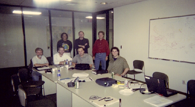 Initial ArcGIS Marine Data Model Working Group, Oct 2001
 Click image to enlarge Click image to enlarge
The Process (817K gif image)
Milestones
Oct 4-5 2001 - Initial working group meeting in Redlands, CA
Nov 2001 - Draft conceptual framework document completed
early 2002 - Conceptual framework circulated and
critiqued
Jun 7-8 2002 - Core and review team workshop to refine model
Jul 9 2002 - ESRI User Conference,
Model introduced at Marine SIG meeting
Jul 2002 - Publish draft model
Jul-Nov 2002 - Project work to further refine model
Nov 1 2002 -
Web conference to discuss major updates,
release of test data
early 2003 - Review period for updated
model
May 16-18 2003 -
Workshop #3 to refine and finalize model
Jul 2003 - ESRI User Conference, presentation of
model
TBD - Publish final data model as book from ESRI Press
|
|
 | |
|
(from email to group of Saturday, April 5th)
The next
ArcGIS Marine Data Model workshop is scheduled for Friday, May 16 to
Sunday, May 18 in Redlands, CA at ESRI headquarters. We are planning a
WebEx session (web conference requiring only a web browser and telephone)
a week or so after this for those unable to attend the Redlands workshop.
See below for important information on travel, accomodations, and the
full workshop agenda. Please note that Friday's session, while open to
all, will primarily be a heavy-duty, nuts-and-bolts, elbows in to UML kind
of session for the smaller working group. In addition, there will be a
"field trip" to the Scripps Visualization Center in San Diego on Monday
morning, May 19th.
Day 1 - working group meets - identify/resolve issues needing
additional work
Day 2 - review team gets briefing on progress of working group - all
others welcome
Day 3 - final discussions, plan for ESRI User Conference, publicizing
and publishing the model - all welcome
Day 4 - transit to San Diego (7 a.m.) for Scripps Visualization Center demos and meetings
TRAVEL and LODGING
To assist you in your travel plans, here are some helpful web sites:
The Dynasty Suites in Redlands is highly recommended.
Dynasty site 1
Dynasty site 2
Best Western Sandman Hotel
More Hotels, Dining, and Maps
Directions to ESRI
Directions to Scripps (pdf)
Airports:
Ontario International (ONT)
Los Angeles Internation (LAX)
San Diego International (SAN)
If you plan on attending the Scripps field trip, you may want to fly in and out of San Diego.
MEALS
Coffee and tea will be provided by ESRI during the workshop but we'll have to cover our own breakfasts and dinners and order lunch to be delivered to us while working during the day.
AGENDA
Day 1 - Friday, May 16, 9:00-5:00 (break for lunch, noon-1)
Working group meets - identify/resolve issues needing additional work
-
go through model in present form, and for those who have tested it
comment on what is working, what is not working
-
Measurements and Time Series ok?
-
Grid and PointValues?
-
getting basic data in to the model ok?
-
run through hypothetical but representative test cases - run through them to see if the model can provide the data accordingly
-
identify what is missing at this stage (keeping in mind that model is
supposed to be generic)
-
more additions to model? set targets for completing missing items or
new desired additions
-
update UML and glossary document
-
generate UML poster (large format) for tomorrow's presentation
-
when is model "done" for now so that user community can start using?
we want to reach stability
-
how easy will it be for user community to extend it?
-
what tools are needed? (data input tool? time series tool? 3D tool?) etc.
Day 2 - Saturday, May 17, 9:00-5:00 (break for lunch, noon-1)
Review team and all others get briefing on progress of working group
-
recap to group of Day 1 and presentation of "final" model
-
input from group
-
discussion of tool development - who will develop what tool
-
assign responsibilities and timeline
-
discussion of what to present at ESRI UC
- assign responsibilities and timeline
-
discuss how to get widest adoption and dissemination - agency "buy-in" from
NOAA CSC and FGDC Marine/Coastal Subcommittee, MMUG, OBIS, others
Day 3 - Sunday, May 18, 9:00-4:00
-
final discussions
-
publicizing and publishing the model
-
final plan for ESRI User Conference - Steve Grise's data model session
(TBA) and Marine SIG (W, July 9, 12:15, Rm. 27AB)
-
book issue - standalone book or not? or chapters in a book with a
broadened focus that incorporates other disciplines/data model efforts
interested in multiple dimensional dynamic data?
-
finalize book outline, assign responsibilities and timeline
-
other meetings
PARTICIPANT LIST
Jan Benson, NOAA Alaska Fisheries Sci. Ctr. (working group)
Michael Blongewicz, DHI (working group)
Joe Breman, ESRI (working group)
Rowena Carlson, Navy
Jim Ciarrocca, ESRI
Lu Crenshaw, Veridian
Gabriel Diaconescu, Menlo College
Peter Etnoyer, MCBI
Jeanne Foust, ESRI
Steve Grise, ESRI (working group)
Pat Halpin, Duke (working group)
Jeremiah Knoche, OrSt
Steve Kopp, ESRI
Miles Logsdon, U. of Washington
Nazila Merati, NOAA PMEL (working group)
Rob Schick, NOAA
Tiffany Vance, NOAA Alaska Fisheries Sci. Ctr. and OrSt (working group)
Robby Wilson, Navy
John Wood, Texas A&M Corpus-Christi, Harte Research Institute
Dawn Wright, OrSt (working group)
Thanks for sacrificing your valuable time and personal expense to attend!!! See you in Redlands!
BACK TO TOP
Last update: May 9, 2003
© 2001-'03, D. Wright and OSU Webworks
http://dusk.geo.orst.edu/djl/arcgis/workshop03.html
|
| |
|


;) Initial ArcGIS Marine Data Model Working Group, Oct 2001
Initial ArcGIS Marine Data Model Working Group, Oct 2001;)