Survey Preparations
|
Click on each image to view it at
a larger size.
A new, adjacent window will open once for this purpose. |
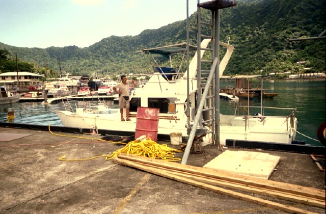
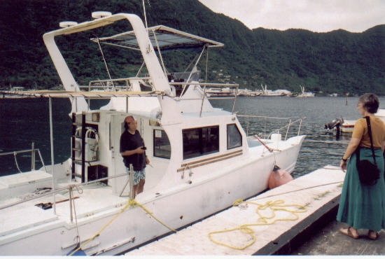
Our survey boat (loaned by the DMWR, 30-footer)....
|
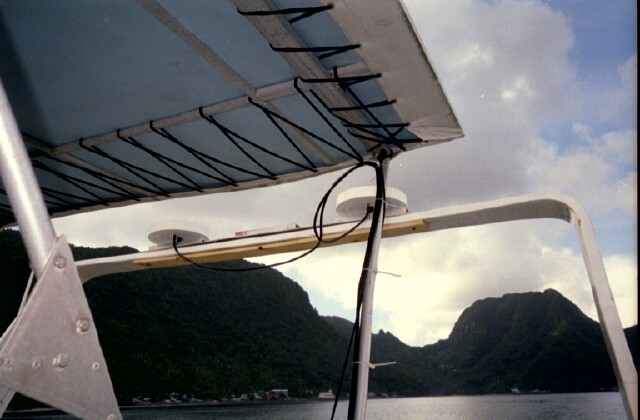
2 GPS antennae topside...
|
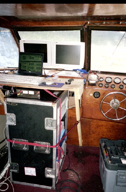
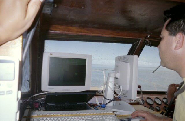
Main cabin...
|
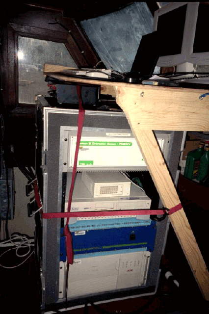
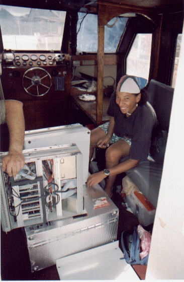
Main electronics rack, top to bottom:
Pos MV nav system, Sun hard disk, Sun CPU, Kongsberg Simrad
multibeam system, UPS
|
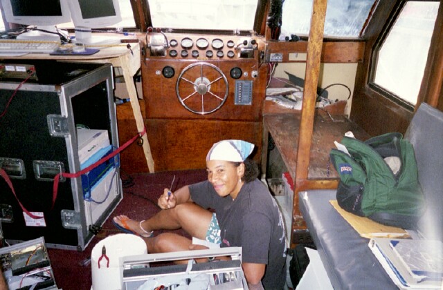
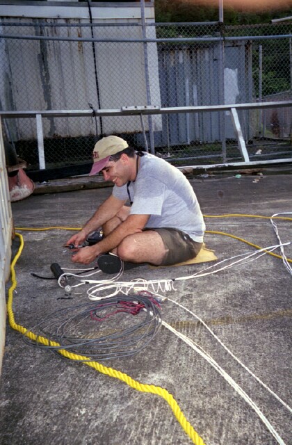
Helping to repair POS MV system...
|
|
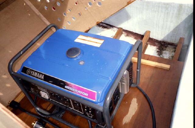
Gas generator on bow for powering A/C and electronics...
|
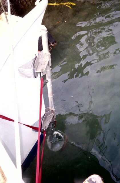
Pole mount for multibeam transducer...
|

Mounting multibeam transducer to pole...
|
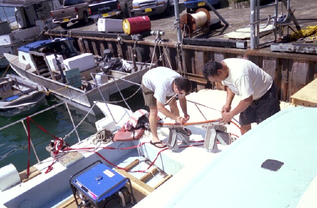
Cabling tranducer to pole & electronics in cabin...
|
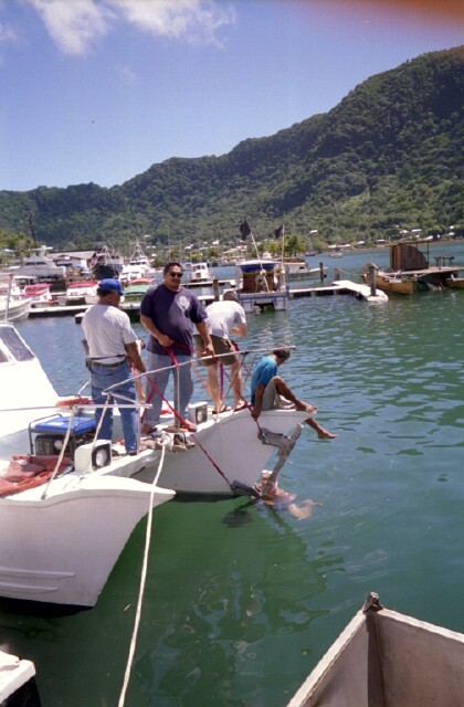
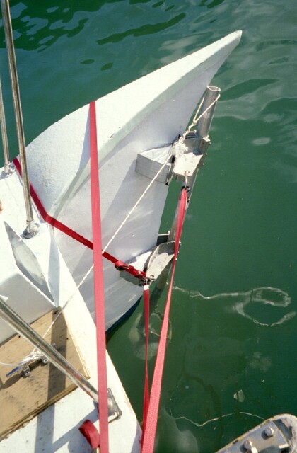
Mounting final pole/transducer assembly to bow of boat...
|
Final pole/transducer assembly ready for speed tests, then surveying...
|
CTD (conductivity/temperature/depth) cast for sound velocity profile (SVP)
determination....
|
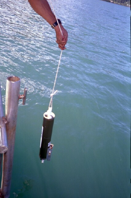
Marine tech extraordinaire Brian Donahue, rigging sound velocimeter
in lieu of CTD problems...
|
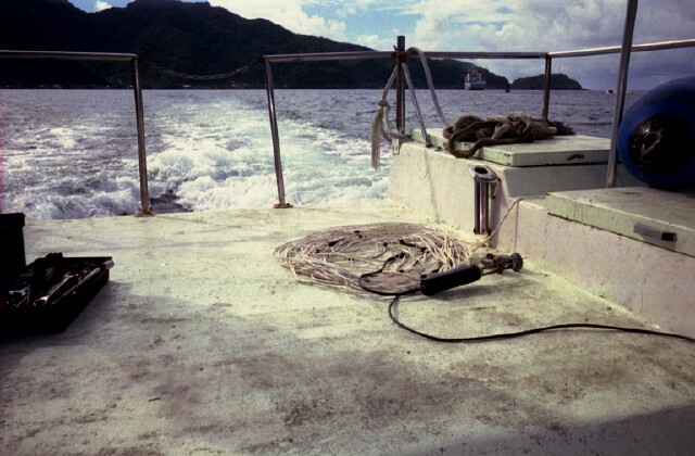
Sound velocimeter...
|
Dawn chats with Nancy before getting underway...
|
Survey data collection underway...
|


;)
;)
;)
;)
;)
;)
;)
;)
;)
;)
;)
;)
;)