Fagatele Bay and Leone
|
Click on each image to view it at
a larger size.
A new, adjacent window will open once for this purpose. |
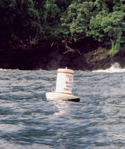
FBNMS mooring buoy...
Photo by Cindy Fowler
|
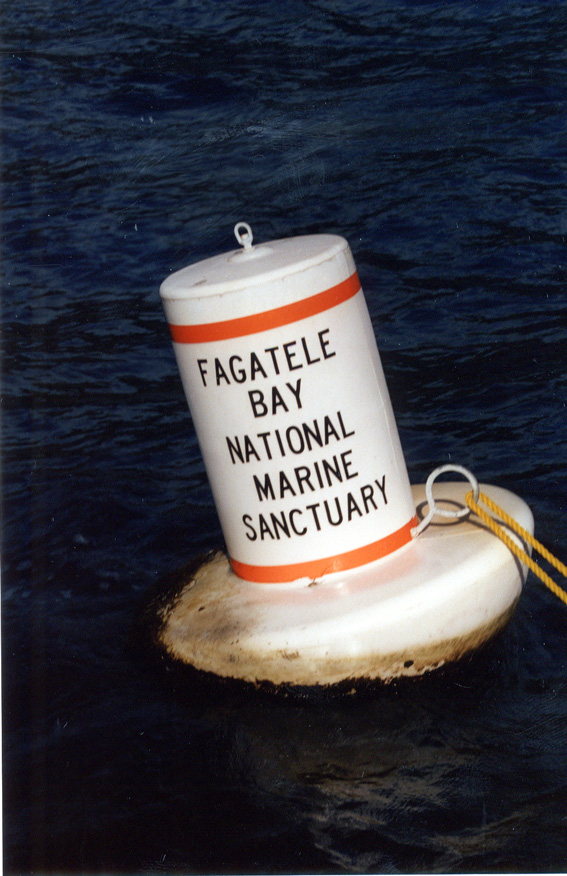
Another shot...
Photo by Brian Donahue
|
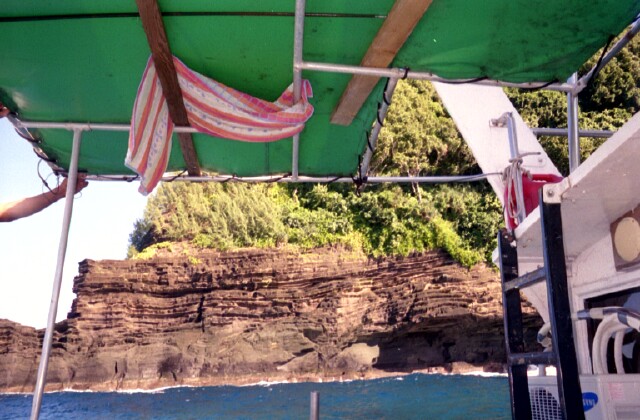
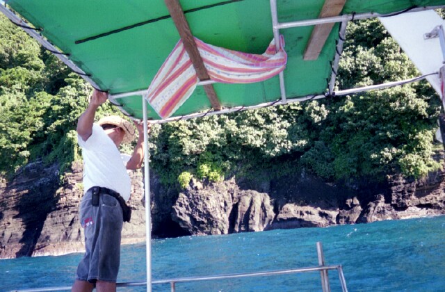
Volcanic "bathtub rings" along caldera walls surrounding
Fagatele Bay...
|
Beautiful clear blue waters of the bay...
|
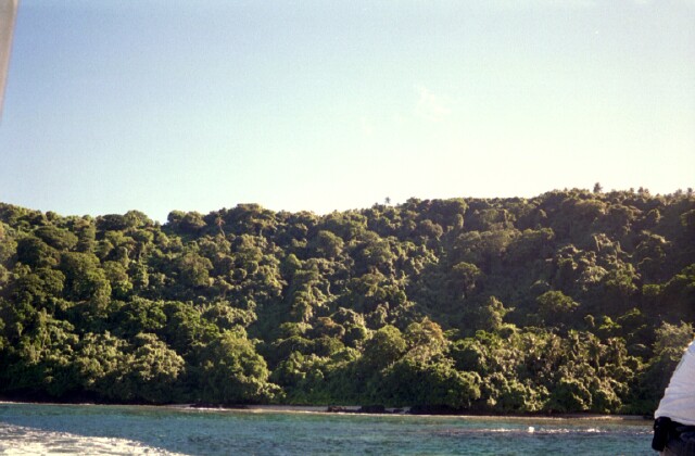
Lush vegetation. Only aerial shots do the bay justice...
|
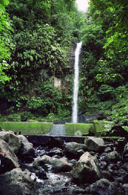
Inland now to beautiful Leone Falls...
|
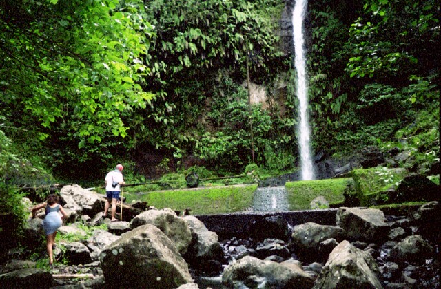
Hiking to the falls for a swim...
|
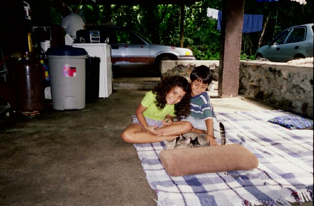
Sa'ili and Gus with kitties at Barry's Bed & Breakfast...
|
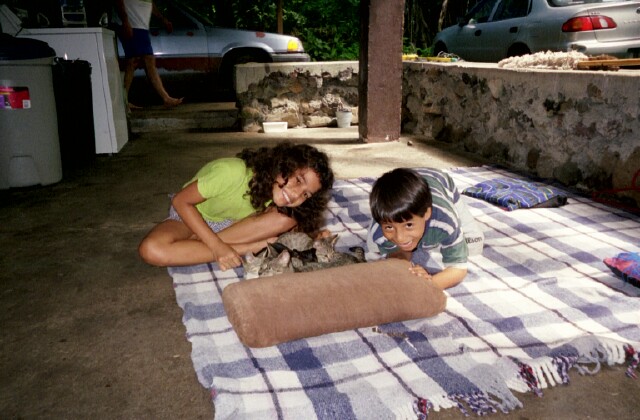
So photogenic!
|

|

;)
;)
;)
;)
;)
;)
;)
;)
;)
;)