Pago Pago 2001
|
Click on each image to view it at
a larger size.
A new, adjacent window will open once for this purpose.
|
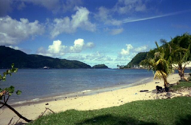
A beach near Pago Pago...
|
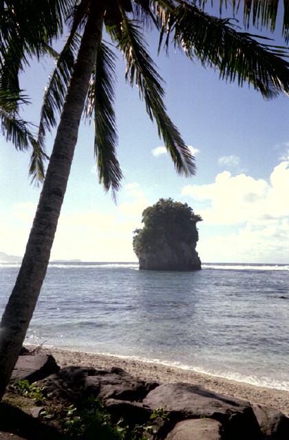
The Fatu "flower pot", an offshore volcanic plug...
|
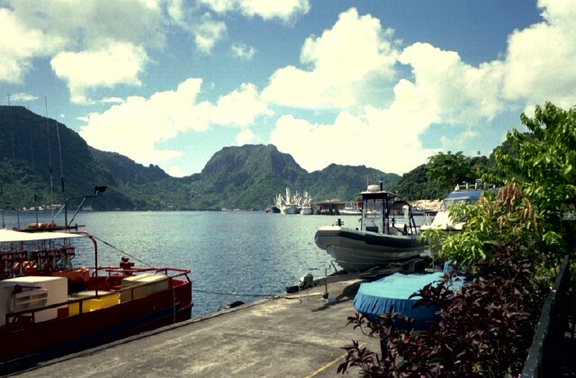
Pago Pago harbor, the largest deepwater harbor in the South Pacific...
|
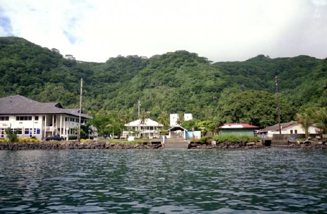
Fagotago business center...
|
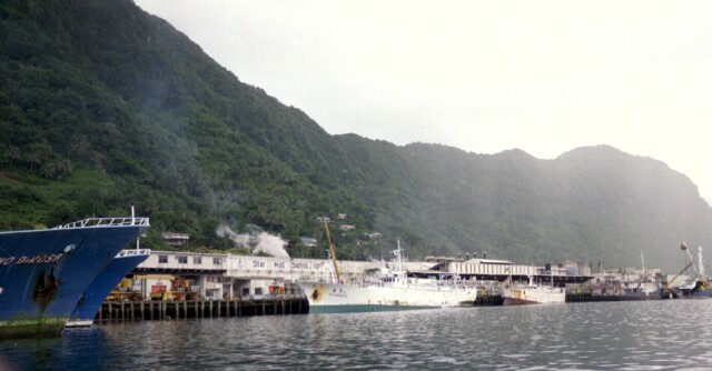
Starkist tuna cannery (together with Van Kamp these
canneries at the harbor constitute the world's largest)
|
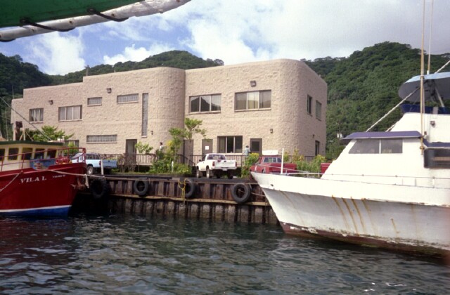
The FBNMS office located in the Dept. of Marine & Wildlife Resources
(DMWR) Bldg in 2001...
|

Boats of the NMFS and FBNMS (not used during this mission though)
...
|
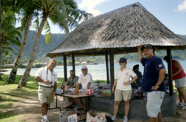
FBNMS manager Nancy Daschbach (2nd from right) and colleagues enjoy an
afternoon barbecue...
|
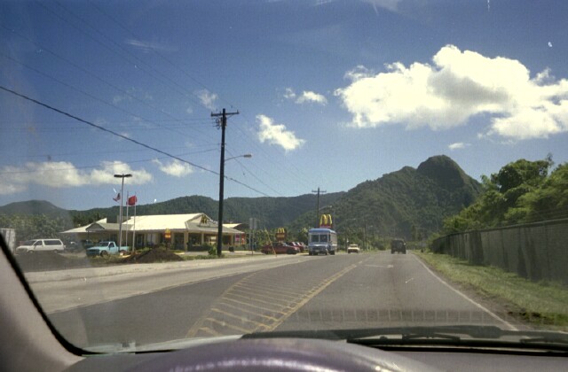
Polynesian Macdonald's!
|
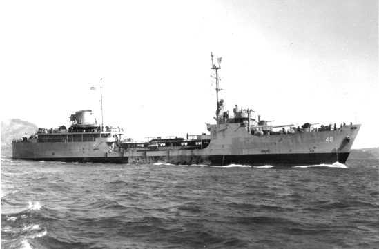
Navy archive photo of the USS Chehalis (AOG48),
a WWII Navy gas tanker that sank in the harbor in 1949 (many
thanks to Tom Mayes, U.S. Navy for the photo).
Wreckage was mapped during this mission.
|

;)
;)
;)
;)
;)
;)
;)
;)
;)
;)
;)